GeoProcessIT project · ESA Kick-start
GeoAI_Watloss
An ESA project using Earth Observation data and GeoAI to identify events associated with water-network leakage. GeoProcessIT acted as Prime Contractor.
Sentinel-1/2GNSSUAVLiDARGeoAI
View project →GeoProcessIT
GeoProcessIT delivers specialist work in geoinformatics, geodesy and software. We process and integrate GIS, LiDAR, GNSS, Earth Observation and 3D data.
The scope may include data analysis, workflow automation, quality assessment or a geospatial module within a larger system.
Capabilities
Depending on the assignment, several areas may be combined — for example LiDAR processing with quality assessment and GIS automation.
GIS, spatial databases and workflow automation
PostGIS databases, spatial-data processing, GIS automation and purpose-built tools for specific workflows.
View capability →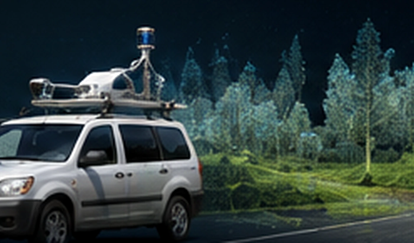
LiDAR, mobile mapping, MMS/MLS and QA/QC
Point clouds, UAV and mobile-mapping data, georeferencing and quality assessment of derived geospatial products.
View capability →EO, UAV and machine-learning supported analysis
Satellite and aerial-data analysis, change detection, classification and integration of results with GIS and field data.
View capability →
3D models and multi-sensor data integration
Integration of UAV, LiDAR, GNSS, bathymetry and GIS data into coherent 3D models and Digital Twin components.
View capability →Data quality
LiDAR, mobile mapping, photogrammetry and GIS products.
The scope is matched to the specification and intended use of the data. Checks may cover georeferencing, accuracy, consistency between survey runs, completeness and derived-product quality.
LiDAR, Mobile Mapping & Data Quality →Projects
GeoProcessIT project · ESA Kick-start
An ESA project using Earth Observation data and GeoAI to identify events associated with water-network leakage. GeoProcessIT acted as Prime Contractor.
Tomasz Templin · R&D experience
R&D work integrating UAV, LiDAR, MBES and GNSS data in a single spatial model. The results were published in the International Journal of Digital Earth in 2026.
Publication / DOI↗How we work
Delivery of a clearly defined technical task with an agreed output.
Responsibility for a defined GIS, data-processing, algorithm or integration module within a larger system.
Assessment of data and products against the project's technical specification.
Feasibility work, prototypes, ESA projects and R&D consortia.
GeoProcessIT
GeoProcessIT works across geoinformatics, geodesy and software development, delivering specialist services, workflow automation, prototypes and technology modules for R&D projects.
About the company →Founder
Surveyor and geoinformatics specialist with a PhD in satellite geodesy and more than 20 years of professional and R&D experience.
Contact
A short description of the task and the data is enough for an initial scope assessment.