LiDAR & point clouds
Processing, filtering, classification, density and completeness assessment, and preparation of derived products.
Capability
Processing, integration and quality assessment of survey, LiDAR and GNSS/INS data.
The scope may include point-cloud preparation, georeferencing assessment, multi-sensor data integration and independent evaluation of derived products.
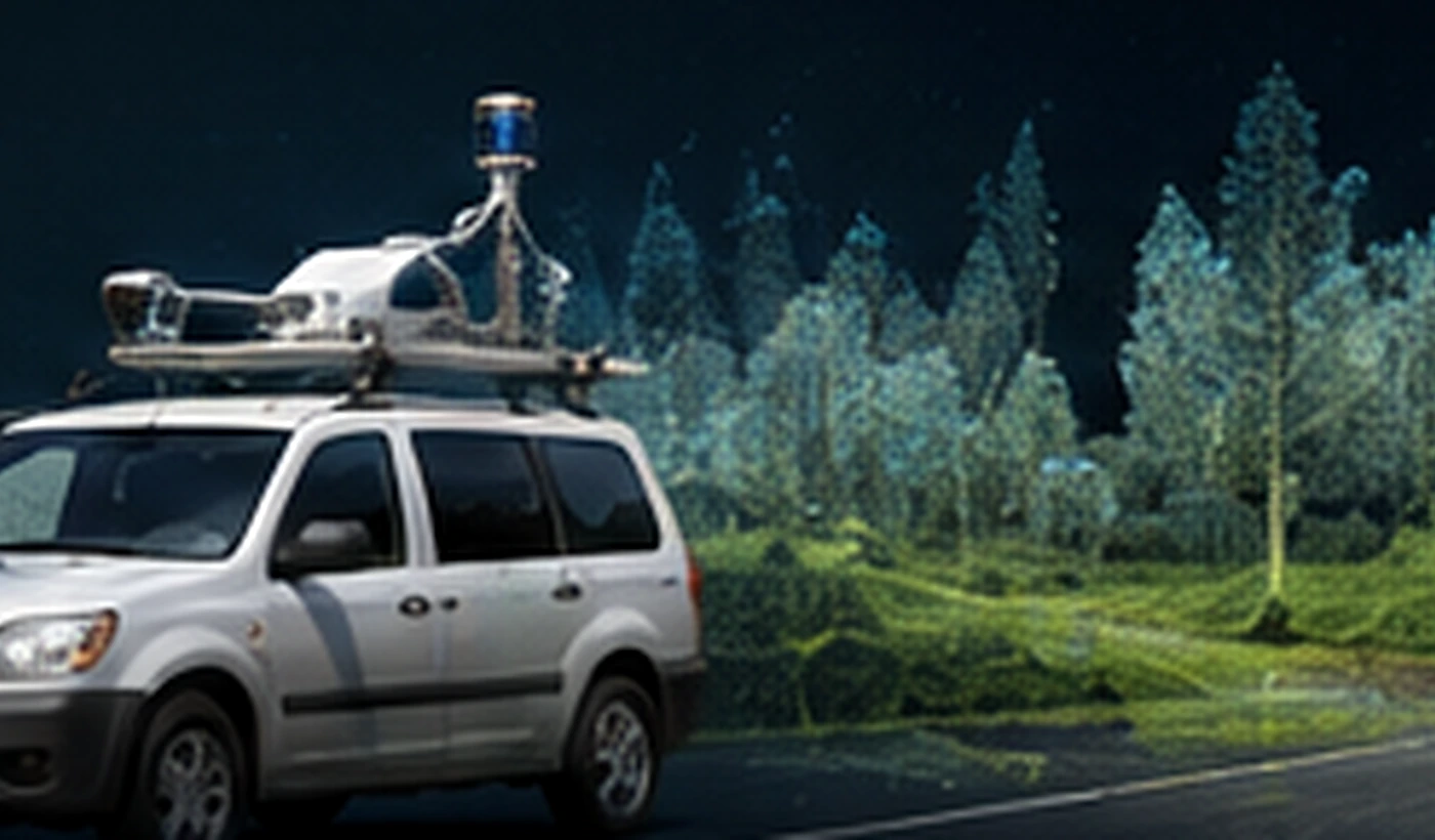
Data quality depends not only on the file format, but also on georeferencing, completeness, consistency between survey runs and subsequent processing.
Processing, filtering, classification, density and completeness assessment, and preparation of derived products.
MMS/MLS data, GNSS/INS trajectories, spatial consistency and alignment between sensors.
Assessment of accuracy, consistency and completeness across the processing chain.
Geospatial Data Quality & QA/QC
Errors may originate during positioning, acquisition, georeferencing or subsequent processing. The assessment scope should therefore match the data and the technical specification.
Tolerances and reporting follow the requirements of the specific project.
Depending on the project, the assessment may cover the following areas.
MMS / MLS
Mobile mapping systems combine GNSS/INS, laser scanning, imagery and sensor synchronisation. Assessment can therefore cover both source data and derived products.
GNSS/INS trajectory analysis, check points and absolute accuracy.
Survey-run consistency, relative accuracy, density, completeness and classification.
Coverage, geometry and image-to-LiDAR alignment.
Orthophotos, 3D models and GIS data — geometry, topology and attributes.
Relevant experience
GeoProcessIT project · ESA Kick-start
The project combined EO and GNSS data and verified results using UAV RGB, multispectral and laser-scanning datasets.
View project →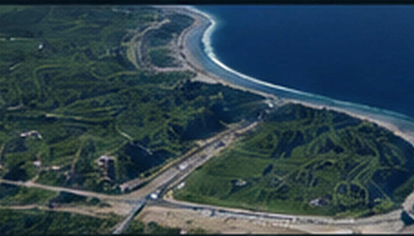
Tomasz Templin — R&D experience
Integration of UAV, LiDAR, MBES and GNSS data in a common geodetic reference frame and a coherent 3D model.
Publication / DOI↗Automation
For large datasets, selected checks can become repeatable workflows — from completeness and geometry checks to statistics, discrepancy layers and reporting.
Contact
A short description of the task and the data is enough for an initial scope assessment.