Capabilities
GeoProcessIT capabilities
Four connected areas: geospatial software and data, LiDAR and data quality, GeoAI, and sensor integration with 3D models.
An assignment may focus on one area or connect several stages — for example LiDAR processing with GIS automation and quality assessment.
Geospatial Software & Data Engineering
GIS, spatial databases and workflow automation
PostGIS databases, spatial-data processing, GIS automation and purpose-built tools for specific workflows.
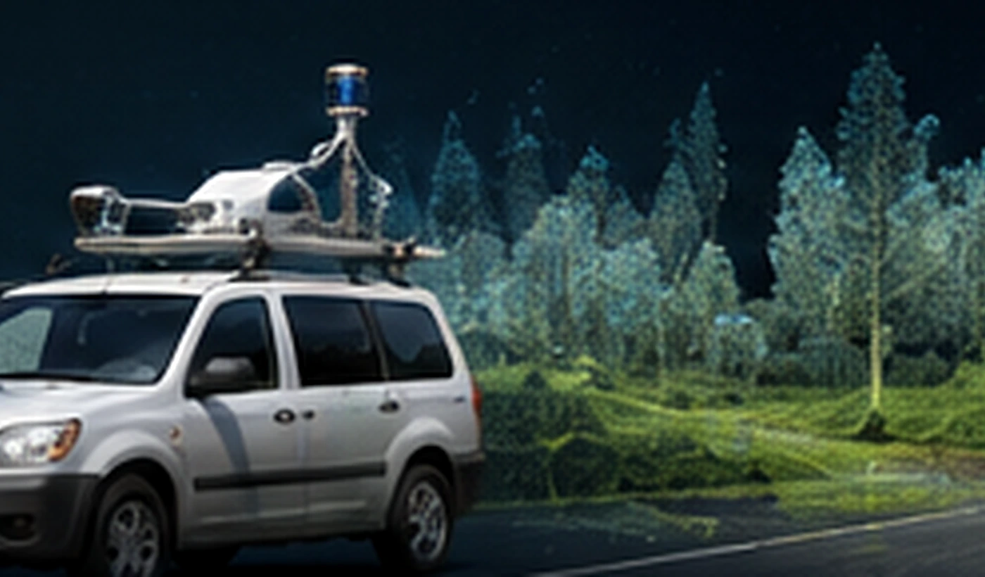
Reality Capture, LiDAR & Data Quality
LiDAR, mobile mapping, MMS/MLS and QA/QC
Point clouds, UAV and mobile-mapping data, georeferencing and quality assessment of derived geospatial products.
GeoAI & Earth Observation
EO, UAV and machine-learning supported analysis
Satellite and aerial-data analysis, change detection, classification and integration of results with GIS and field data.
Digital Twins & Sensor Integration
3D models and multi-sensor data integration
Integration of UAV, LiDAR, GNSS, bathymetry and GIS data into coherent 3D models and Digital Twin components.
Contact
Discuss your project
A short description of the task and the data is enough for an initial scope assessment.