Sensor integration
Harmonising reference systems, georeferencing and resolution across datasets from different sensors.
Capability
Integration of survey and spatial data into coherent 3D models and analytical environments.
We work with UAV, LiDAR, GNSS, imagery, bathymetry and GIS data. The result may be an integrated 3D model, a digital-twin component or a dataset prepared for downstream analysis and visualisation.
Harmonising reference systems, georeferencing and resolution across datasets from different sensors.
Point clouds, surfaces, textured meshes and data prepared for GIS or real-time environments.
GIS, 3D Tiles, glTF and data prepared for web applications, monitoring and XR.
Tomasz Templin — R&D experience
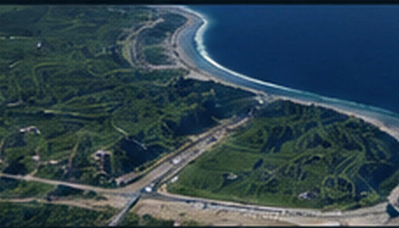
The 2026 research work combines UAV photogrammetry, airborne LiDAR, multibeam bathymetry and GNSS in one geodetic reference frame.
The model was prepared for GIS, web and XR use with interoperable 3D formats.
Data integration
Contact
A short description of the task and the data is enough for an initial scope assessment.