GeoProcessIT
GeoProcessIT
GeoProcessIT works across geoinformatics, geodesy and software development.
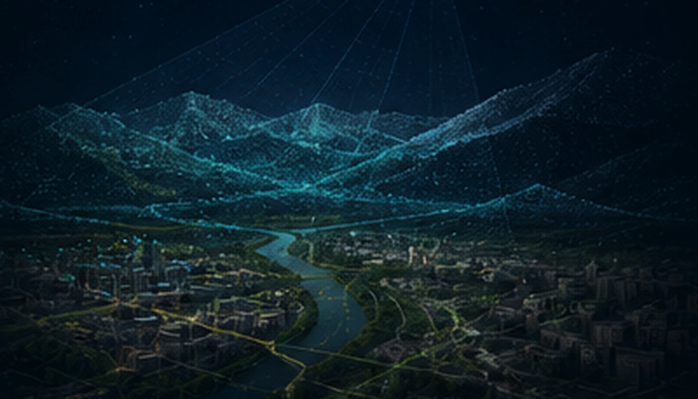
We specialise in spatial-data processing and integration, GNSS, LiDAR, GeoAI and 3D models. Depending on the project, GeoProcessIT can deliver a specialist service or a defined technology module.
Company profile
Spatial data, survey technologies and software
Spatial data are at the core of the work: processing, integration, quality assessment, analysis and delivery. Geodetic expertise is combined with software development when a workflow requires automation or a purpose-built tool.
GeoProcessIT works with technology companies, surveying contractors, public-sector organisations and R&D teams in Poland and internationally.
Founder & key expertise
Tomasz Templin
Surveyor and geoinformatics specialist with a PhD in satellite geodesy. More than 20 years of professional and R&D experience spans GNSS, GIS and spatial databases, LiDAR, UAV, sensor-data integration, GeoAI, 3D/Digital Twins, and ESA/R&D projects.
LinkedIn ↗Selected sources
Projects and publications
Public sources supporting selected elements of the company and key-staff experience.
Contact
Discuss your project
A short description of the task and the data is enough for an initial scope assessment.