Projects & experience

Projects and R&D work

Selected examples show how GIS, EO, GNSS, LiDAR, GeoAI and data-integration capabilities are used in practice.

Each item clearly identifies GeoProcessIT's role or the nature of key-staff experience.

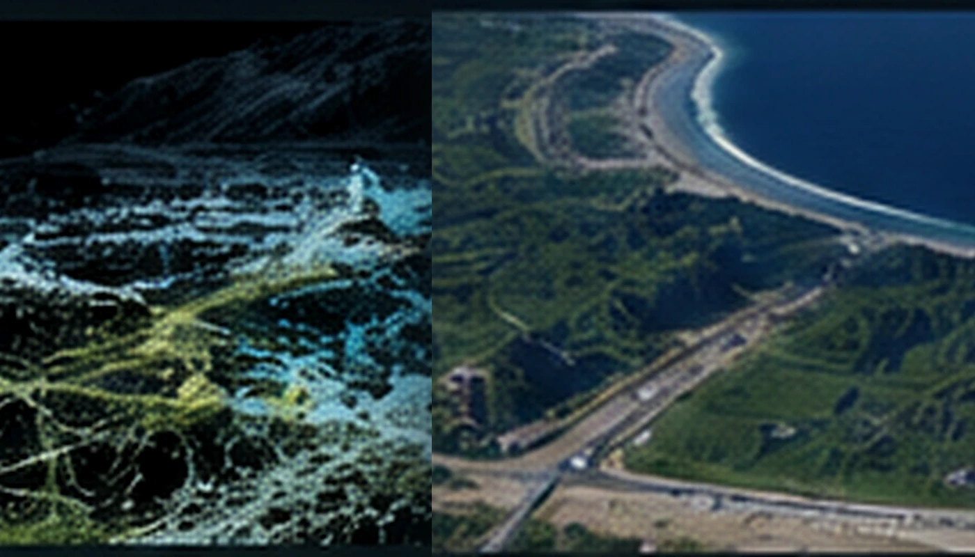
Visualisation of spatial data related to GeoProcessIT projects
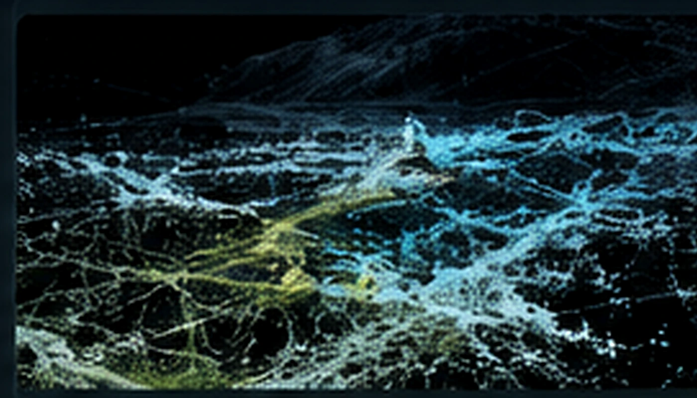
Illustration of technologies used in the GeoAI_Watloss project
Technology illustration

GeoProcessIT project

ESA Kick-start · Prime Contractor

GeoAI_Watloss

An ESA project using Sentinel, GNSS and GeoAI to identify events associated with water-network leakage. Analysis outputs were verified using UAV data, including laser scanning.

ESAEOGNSSUAVLiDARGeoAI
View project
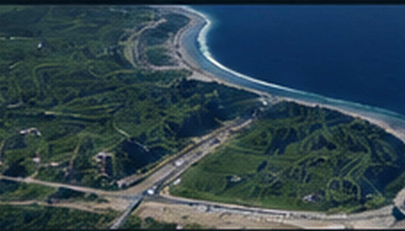
Illustration of data integration for a shoreline digital twin
Data-integration illustration

Tomasz Templin — R&D experience

Research · 2026

High-definition shoreline Digital Twin

R&D work covering UAV, LiDAR, MBES and GNSS integration, 3D modelling and preparation for GIS and XR. The results were published in the International Journal of Digital Earth.

International Journal of Digital Earth publication

Contact

Discuss your project

A short description of the task and the data is enough for an initial scope assessment.

Contact GeoProcessIT